Urban planning, transportation planning, and territorial spatial planning briefings
Review sessions for urban renewal, new town development, transportation hubs, and industrial park districts
Official inspections, urban investment promotion, and public exhibitions of planning proposals
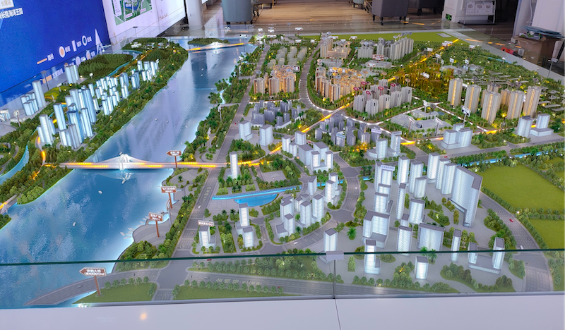
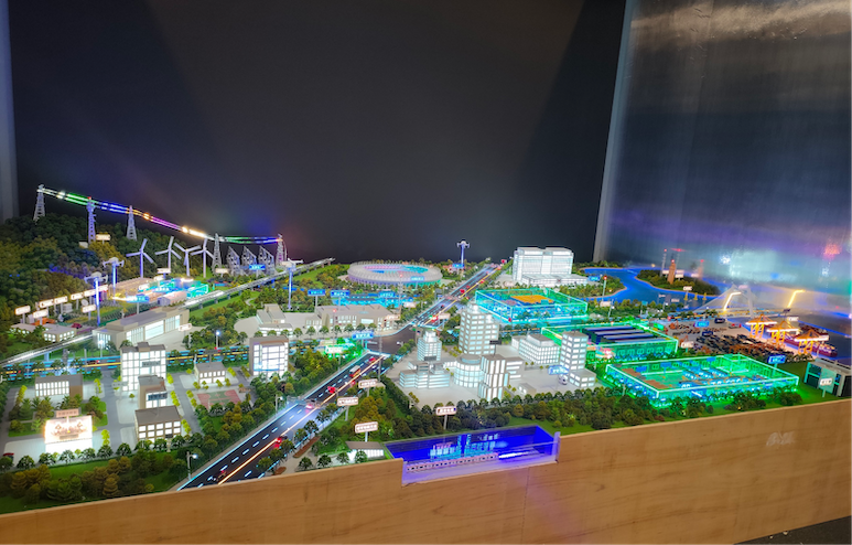
Urban Planning Application Scenarios such as District Development and Terrain modeling
Standard Presentation Specifications
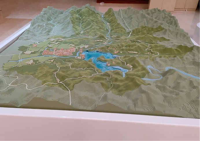
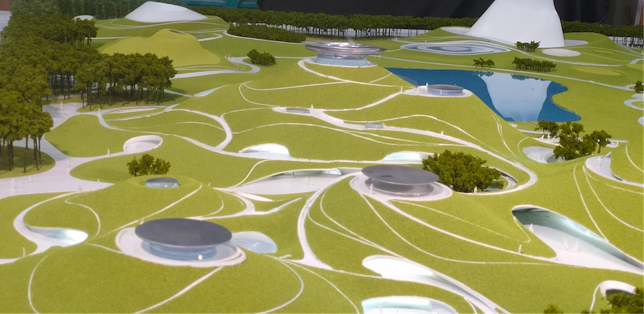
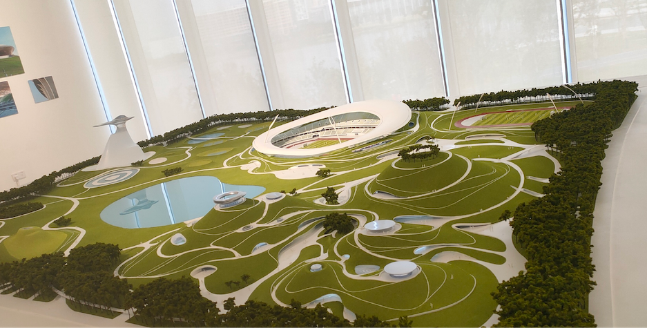
Full-area landform at large scales: Complete restoration of mountains, river systems, railways, expressways, and zone boundaries at scales such as 1:1000 or 1:2000.
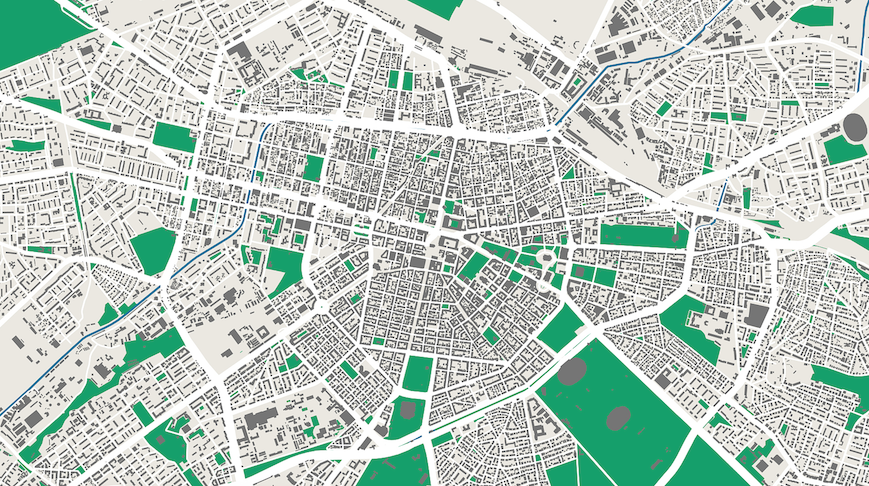
Color-coded functional zoning: Distinct terrain colors for residential, industrial, commercial, green space, and logistics land parcels.
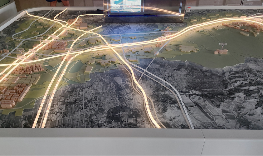
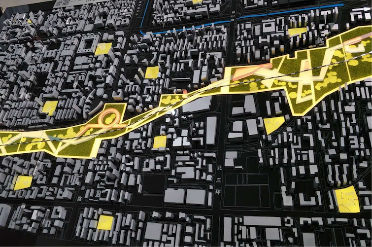
Multi-tier lighting system: Constant lighting for existing built-up areas, controllable lighting for long-term planned zones, and luminous light strips for rail transit routes.
Premium structural finish: Heavy steel structural base, lacquered solid wood frame, and acrylic dust cover for a formal, high-quality presentation.
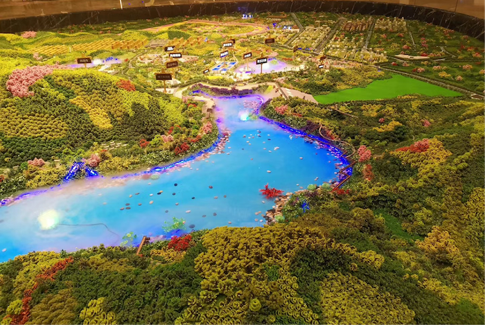
Large scale Urban planning use cases
Core Functions
Territorial spatial layout simulation: Visual demonstration of urban development axes, ecological corridors, and regional spatial relationships.
Existing and planned zone comparison: Switchable lighting for existing and planned zones, supporting clear comparison between current urban areas and long-term expansion plans.
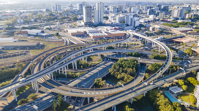
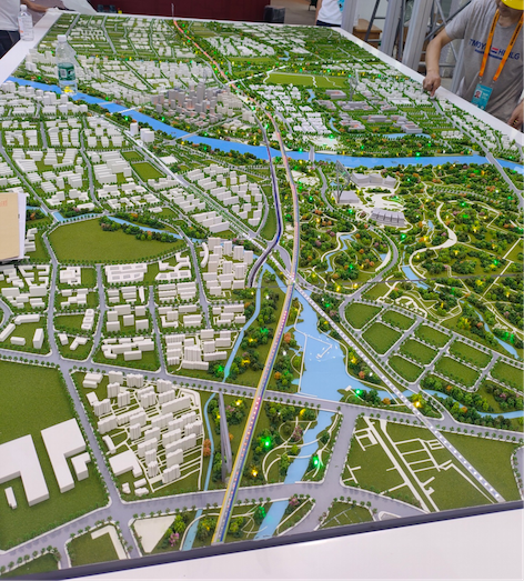
Transportation network visualization: Clear presentation of metro lines, viaducts, arterial roads, and regional connectivity.
Long-term exhibition value: A professional presentation medium designed for official display, archiving, preservation, and repeated project briefings.
Examples of Large Scale District models with transportation network visualization